News and Views of Salt Spring Island, British Columbia
1. A lot about me
(Harry Warner)
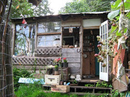
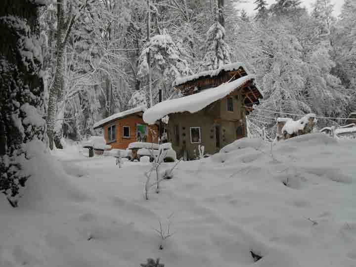
2. Mud
Girls - Cob House Building
4. "Black Velvet Band"
5. Video - "The battle for Salt Spring"
WebSite
courtesy of Harry Warner
Salt Spring Island, BC, V8K 2A5, Canada
email: harryw at savesaltspring.com